RESEARCH
COLLABORATIVE RESEARCH
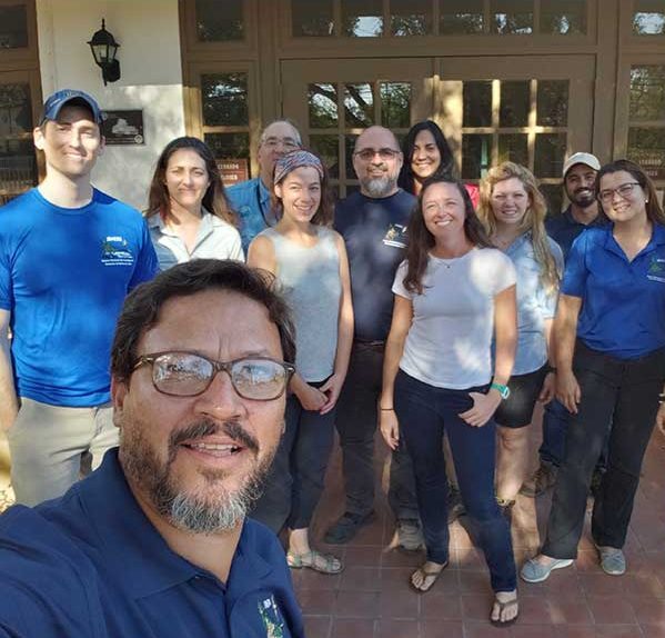
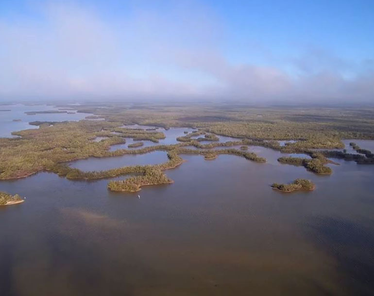
Rookery Bay Estuarine Research Reserve is a platform for visiting scientists and student training to have the opportunity to study our unique ecosystem. Within our research department, we have grant proposal development, technical assistance, as well as collaborative engagement.
OPPORTUNITIES
The Margaret A. Davidson Graduate Fellowship is a two-year opportunity for a graduate student to address a key coastal management question through research that will help scientists and communities understand coastal challenges.
The NERR Science Collaborative, managed by the University of Michigan, offers resources, webinars, and tools for collaborative programs with NERRs. Check here for new funding announcements.
MANGROVE SYMPOSIUM
Rookery Bay Research Reserve celebrated its 40th anniversary in 2018 with a mangrove symposium that featured historic and current research on mangrove ecology within southwest Florida. Working groups developed plans for long-term research, management goals, and holistic restoration.
CURRENT PROJECTS
We coordinate with science and management partners to investigate coastal challenges and assess solutions. Examples of our current and recent work include:
- Mapping Habitat Change
- Modeling Ecosystem Services
- Hurricane Resilience for FL and Puerto Rico
- Blue Carbon for Fruit Farm Creek
- Acoustic Monitoring
- Mangrove structure after hurricane Irma
- ACUNE
Make a Difference
The Research Department oversees monitoring programs and collaborates with scientists globally on projects impacting our local environment. Collectively, these efforts serve as the backbone for science-to-management decisions impacting our coast today and 50 years into the future.
Become a Friend of Rookery Bay
When you choose to support Rookery Bay, know that you are contributing to the preservation of this unique ecosystem.
